-40%
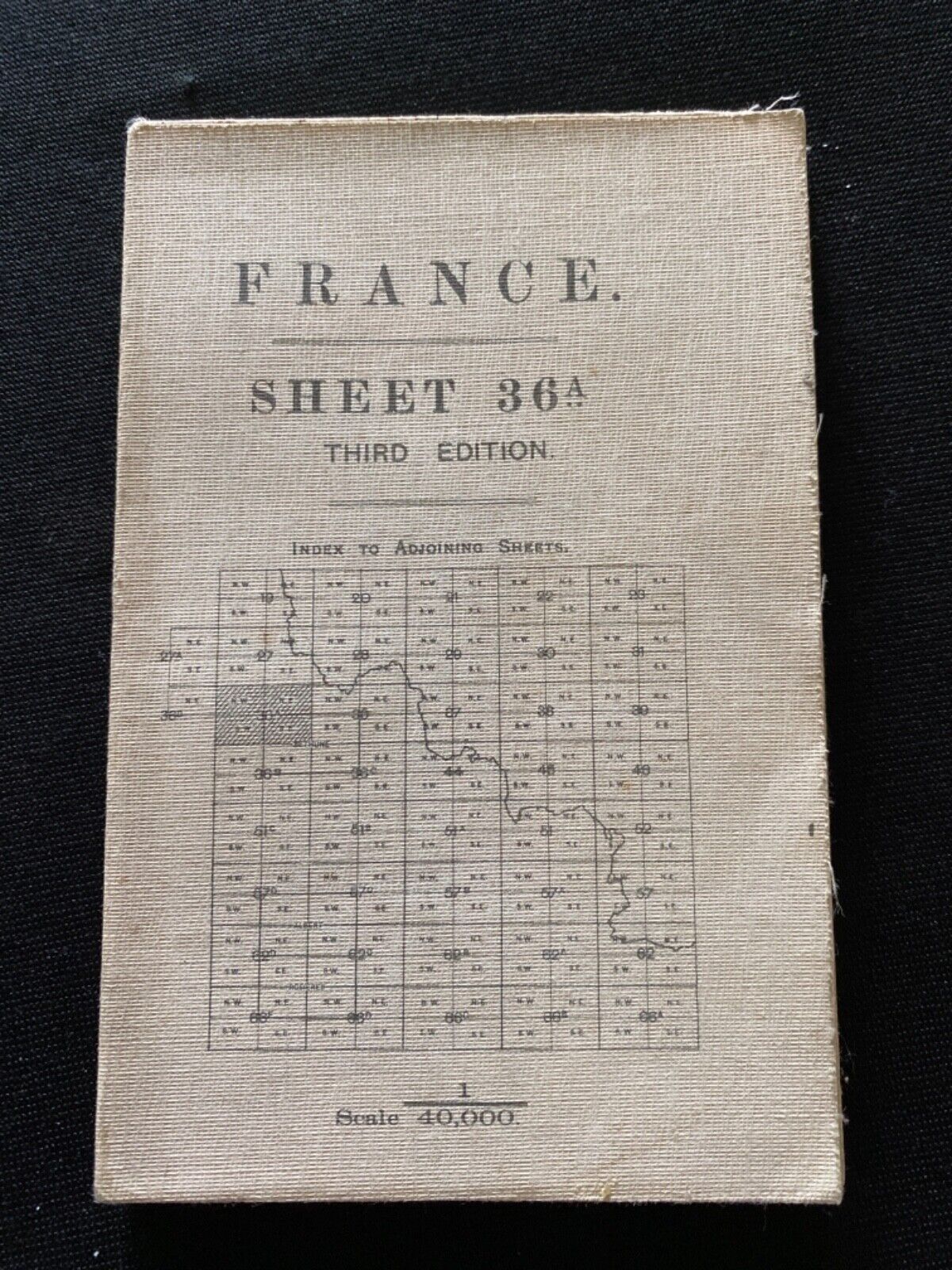
WW1 1915 British Trench Map of France Section Sheet 36A Third Edition
$ 118.8
- Description
- Size Guide
Description
A folding map showing an area in Northern France with trenches around cites such as Aire, Lillers, St. Venant, Merville and Estairs. Estairs is the easternmost city on the map. This is the area just to the south of Ypres and West of Lille. A very complete account, shows all of the trenches around the roads leading up to the cities also. No markings on the map.Closed measures 7 by 4 1/2
Opened measures 35 by 27
Box J 10132021
Weight 5 ounce


