-40%
1948 OLYMPIA Washington Chamber of Commerce Booklet Statistical Information Map
$ 7.91
- Description
- Size Guide
Description
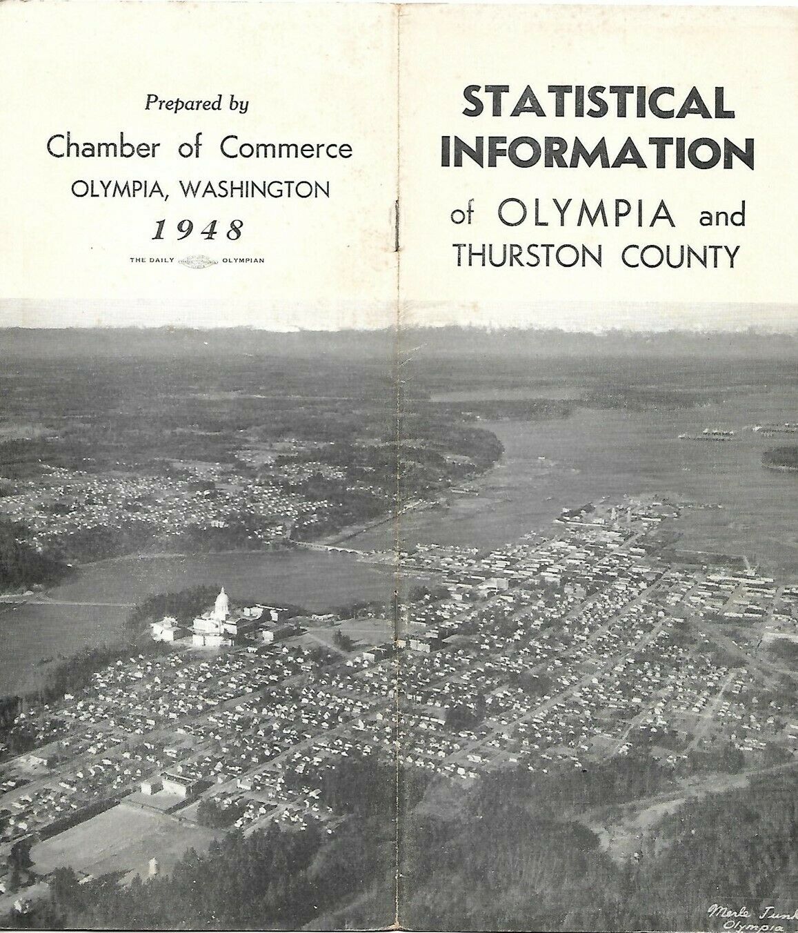
Vintage 1948 booklet:Statistical Information of Olympia and Thurston County,
published by the Olympia Chamber of Commerce more than 73 years ago.
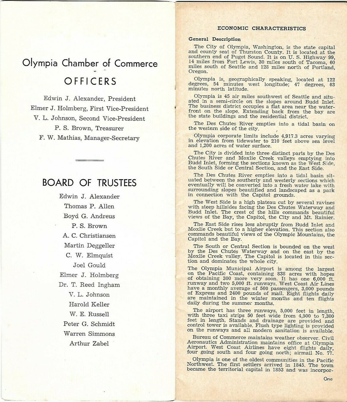
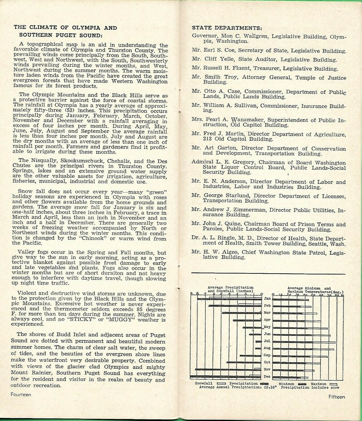
The booklet measures 9¼" x 4" and has 16 pages, with information on the area's economy, industry, transportation, agriculture, and public services.
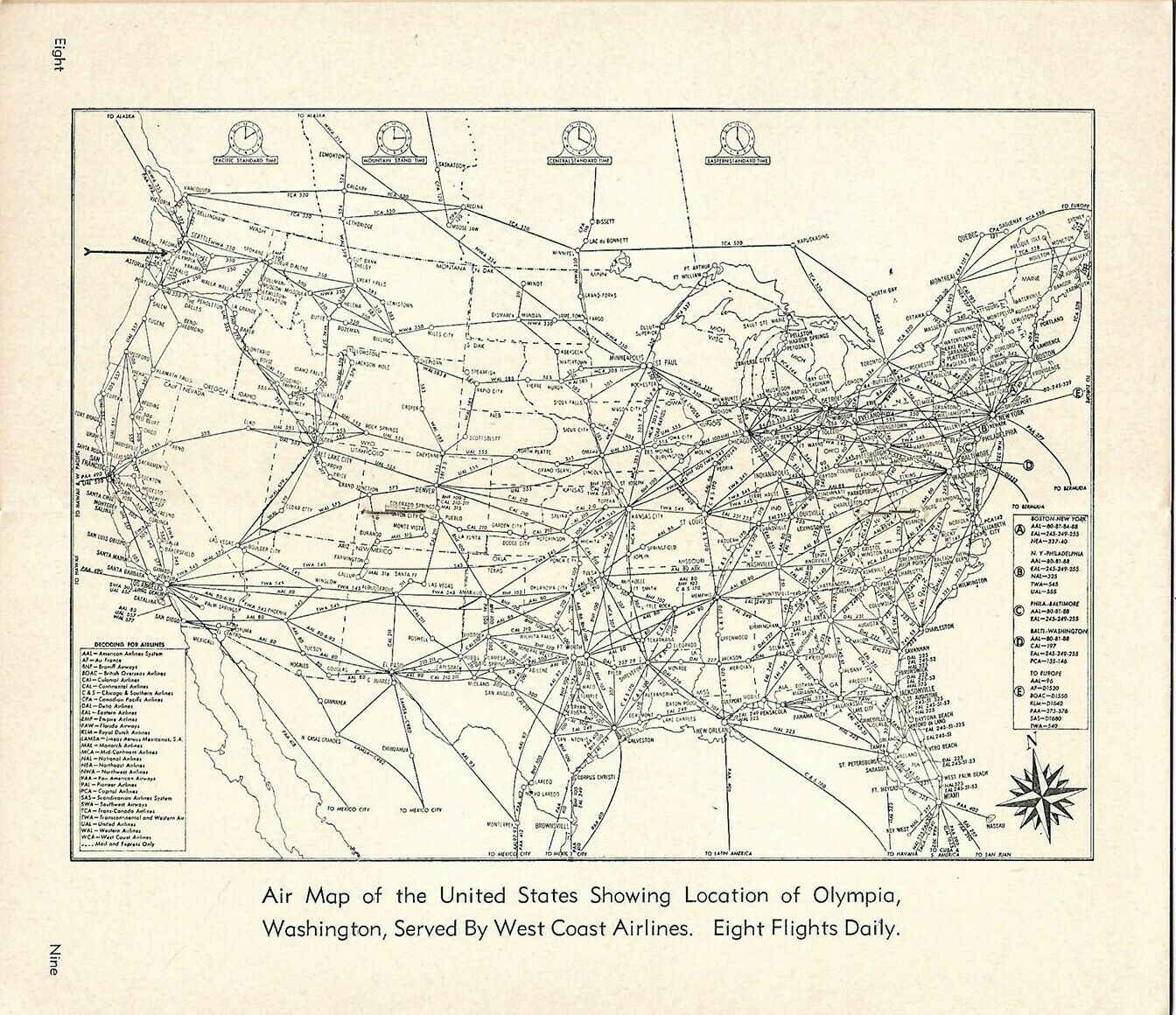
A centerfold air map of the United States shows airline routes, with a decoding key for carriers. The caption notes that Olympia is served by West Coast Airlines (WCA), eight flights a day.
The booklet's cover photo is an aerial view of Olympia and Puget Sound by Merle Junk, noted photographer of the Pacific Northwest.
Condition:
This booklet is in
excellent condition,
bright and clean, with
no
rips, tears, or writing. Please see the scans and feel free to ask any questions.
Buy with confidence! We are always happy to combine shipping on the purchase of multiple items — just make sure to pay for everything at one time, not individually.
Powered by SixBit's eCommerce Solution


