-40%
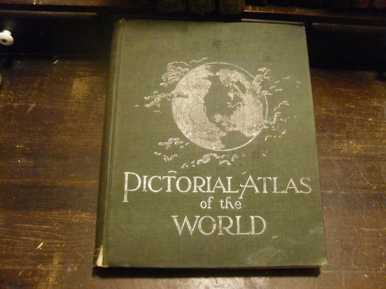
1889 RAND MCNALLY STANDARD ATLAS OF THE WORLD
$ 105.6
- Description
- Size Guide
Description
1889 RAND MCNALLY STANDARD ATLAS OF THE WORLDNICE FULL BOOKOF INDIVIDUAL MAPS OF THE STATES IN FULL PAGE COLOR
OF EACH STATE .FULL MAPS OF THE WORLD, AND COUNTRIES
IN FULL COLOR.
High-quality and attractive antique map engraved and published by Rand McNally and Company. AT the glory days of American map making, and was created using a series of engraved plates. Each color had \
1889 RAND MCNALLY STANDARD ATLAS OF THE WORLD
11x14'' NICE COVER STILL WITH GILT PRINTING
THE RAND McNALLY STANDARD ATLAS OF THE WORLD The Continental Publishing Co., Chicago. Fair to Good Condition hardcover book. Entered According to Act of Congress in the year 1889 by Rand McNally. Exterior: Brown cloth binding is soiled, shopworn. Blind-stamped illustrations on front and back; blind-stamped lettering on front. Tears in spine ends. Interior: Hinges cracked; text block nearly detached from binding. Last free page detached. Nostalgic endpaper advertisements for Everett Piano, Anderson & Harris Carriage Co., Erie Railway, Chicago and Northwestern Railway, Indianapolis Cabinet Co. Endpapers creased; chipped in edges; pencil writing and scribbles. Few pencil notations in text. Pages are generally clean- side margins have brown stains. Occasional foxed spots. All outside edges of pages are factory colored red. Illustrated throughout, maps, diagrams, b/w engravings (full page and in text); flags (full-color page). 192 pages. Contents: Includes the three inserted railroad route maps...see photos. Vintage atlas from the late 19th century is loaded with interesting information (text and tabular data). Greatly enhanced by full page maps that have great old-fashioned color and detail. Colorful diagrams illustrate World Coal Production; Classification of Land Holders in Great Britain; U.S./European Steel Production;Relative
Tonnage of the Merchant Marine.
FREE SHIPPING


